The Making of a Geophysicist
-From EE 4411 in Phillips Hall
to the Ice Sheets of Antarctica-
By
Steve Arcone
I was never bitten hard by the science bug at Cornell until my first term senior year (1964) when I took Quantum Mechanics with George Wolga, and heard Feynman’s Messenger Lecture series on the nature of Physical Law at Cornell. In my fifth year I was inspired by a course in Electrodynamics with Ralph Bolgiano. I did so well in a course on many types of wave propagation with Professor Bill Gordon (of Arecibo fame) that Professor Bolgiano recommended I apply to the Oceanography School at MIT, which I did, and was admitted. Although it didn’t work out (at least I passed the written exams) I kept up my studies while working for Raytheon designing radar antennas during 1969–1973.
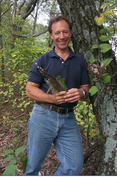 |
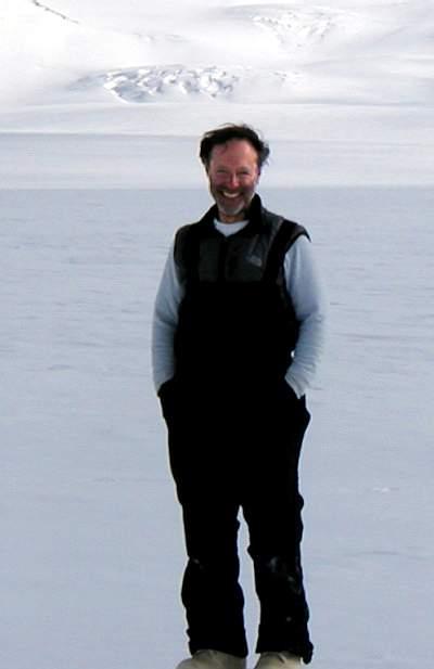
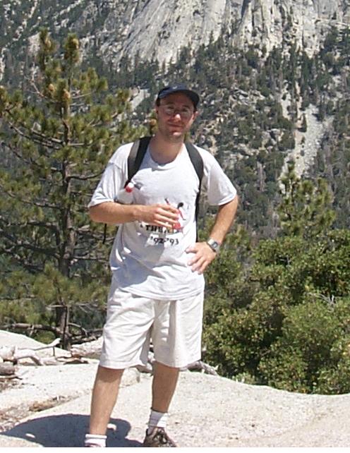
Steve Arcone, 2004 |
In 1971 a friend sent me the qualifying exam for the PhD in Electrical Engineering at Cornell and I knew I could pass it. However, I returned to graduate school at Thayer School of Engineering at Dartmouth (with Professor Gordon’s recommendation) where they had several Cornell graduates on the faculty and a small program in radiophysics. I did not have a research assistantship and so supported my education and helped support my family by working at the US Army Cold Regions Research and Engineering Laboratory (CRREL) in Hanover, NH, where I have been a permanent employee since 1975. I currently live near by in West Lebanon, NH. I earned my PhD in 1977. My thesis concerned improvements in using an airborne electromagnetic system to detect bedrock type. My main advisors were Bengt Sonnerup (PhD, Aeronautical Eng., Cornell, 1961) of Thayer and Pieter Hoekstra (PhD, Agronomy, Cornell, 1964) formerly of CRREL, and whose job I took when he left.
In 1976 I made my first trip to the interior of Alaska to study permafrost, and have since made a career of using subsurface radar to explore permafrost, snow, ice, and especially glaciers and ice sheets. I also research the effects of near-surface soil structure upon the propagation of radiowaves along the ground surface. Most of my research utilizes field observations and experiments.
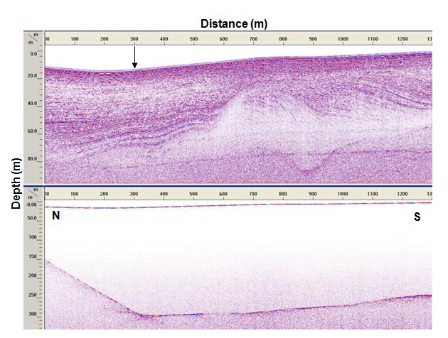
Profile of shallow stratigraphy (top) and the ice bottom (bottom) recorded on Commonwealth Glacier in Antarctica. Arrow locates our drill site
|
|
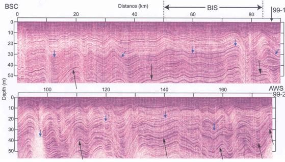
| 177 km of the complex snow stratigraphy recorded by Steve in central West Antarctica |
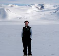
Steve Arcone on Blue Glacier, Antarctica, 2003 |
I avoided all temptation to visit Antarctica while my sons, Anthony and Alex, were growing up. In 1993, when Anthony was at Haverford and Alex was finishing his senior year at High School, I jumped at an opportunity to travel to “the ice,” on contract to the Office of Polar Programs of the National Science Foundation.
|
|
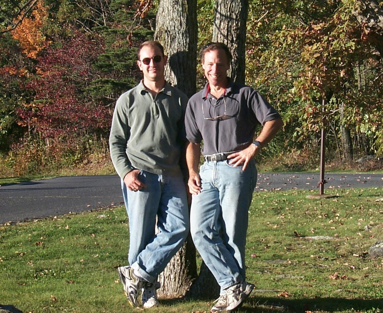
Steve and older son, Anthony, 2001 |
Steve’s younger son, Alex |
I was contracted to detect and delineate pools of water beneath runways, and to find garbage dumps, gas spills and sewage sumps. When I stepped off the plane at McMurdo Station I knew my life had changed, and I took every opportunity to gather data on snow stratigraphy and crevasse detection for future work. Antarctica is the biggest radio play land on Earth. That first trip expanded over the years to more contracts, mainly for development of ground-based radar for advanced crevasse detection, and, most importantly, to six NSF grants to use radar to understand glacial structure and the sedimentary geology of the Antarctic Dry Valleys, one of the more spectacular places I have ever been. The pictures below are of me and of our camp on Blue Glacier located in this area. I have traveled to Antarctica ten times, flown throughout the Transantarctic Mountains by helicopter, visited South Pole Station three times, traveled thousands of km on over-ice expeditions in both West and East Antarctica, and published dozens of papers on snow, ice and permafrost.
|
|
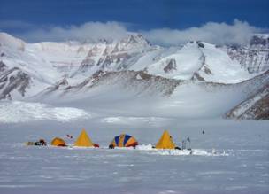
Steve Arcone on Blue Glacier, Antarctica, 2003 |
|
Me, and our camp on Blue Glacier in 2003. This is just a baby glacier by Antarctic standards; only about 2000 feet thick.
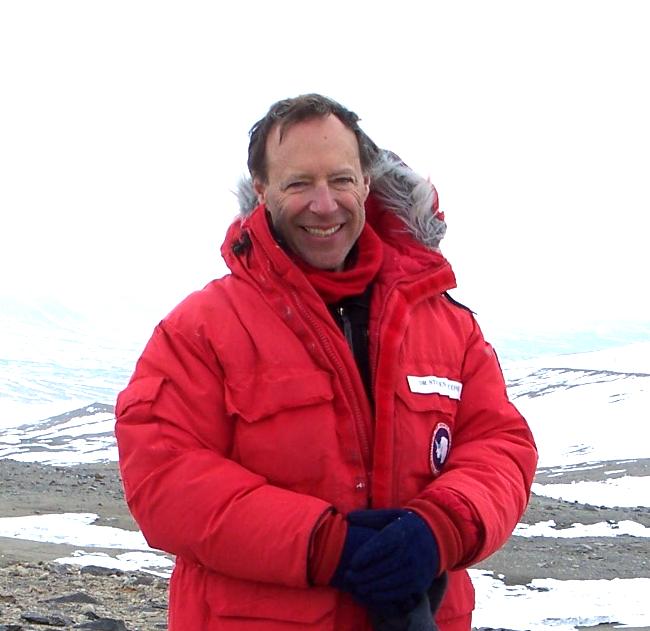
Steve in Antarctica, 2006
My last trip to “the ice” was in December 2006 when the weather was calm and spectacular on the high East Antarctic plateau, but the travel was difficult because of large snow lumps called “Sastrugi,” seen in the picture below. Some of the radar operation was handled by my student at the University of Maine, who went on to take my place in 2007. Over the past few years much of my support has been for work on radio propagation over desert surfaces and so I have slowly been trading Antarctica for the deserts of southern California. Along with my research faculty appointment at the University of Maine, I am also on the adjunct faculty at the University of Connecticut, where I enjoy student support, as well. Although I’m 64 I have no plans for retirement, not as long as I can continue my research.
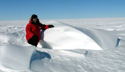
Me, and a pet sastrugi I adopted in December, 2006. These spectacular, wind-sculpted formations can be up to two meters high and make tractor travel difficult.
|
|
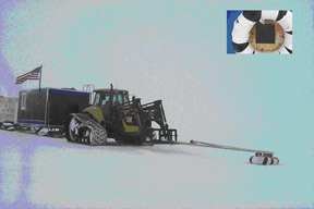
Equipment used to detect crevasses |
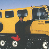
Steve in front of vehicle while at the South Pole. |